UAV Surveys & Photogrammetry

High-resolution UAV photogrammetry and precision surveying for mapping, engineering, mining and geoscience applications.

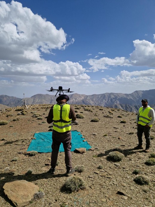
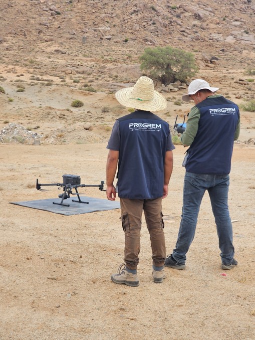
PROGREM team preparing a UAV for a photogrammetric flight
Field preparation and UAV setup — real PROGREM operation.

High-Resolution UAV Photogrammetry

PROGREM performs high-resolution aerial surveys using RTK-enabled UAV platforms and professional mapping sensors to acquire accurate georeferenced imagery for topographic, engineering, mining and geoscience applications.

Equipment
  • DJI Matrice RTK platforms
  • Zenmuse P1
  • RTK/GNSS positioning systems
Applications
  • Topographic mapping
  • Mining and quarry surveys
  • Engineering and infrastructure
  • Geological mapping
  • Site monitoring
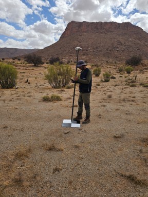
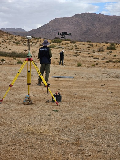
PROGREM surveyor positioning a ground control point with a GNSS rover
GCP / check-point positioning with GNSS rover.
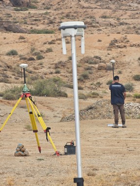
GNSS base station and rover set up in the field
GNSS base and rover configuration during field control.

Precision Surveying & Ground Control

RTK/GNSS surveying complements UAV acquisition for ground control, check points and accurate positioning of field features.

Services
  • RTK GNSS
  • Ground Control Points (GCPs)
  • Check Points
  • Topographic Surveying

From Field Acquisition to Geospatial Deliverables

  1. 01Mission Planning

    Flight planning, GSD, overlap, ground control and terrain considerations.

  2. 02UAV Acquisition

    RTK-enabled aerial image acquisition and field quality control.

  3. 03Photogrammetric Processing

    Image alignment, georeferencing, dense reconstruction and quality assessment.

  4. 04Deliverables

    Orthomosaics, DSM/DTM, point clouds, contours, measurements and 3D models.

Photogrammetric & UAV Survey Deliverables

  • High-resolution Orthomosaic
  • Digital Terrain Model (DTM)
  • Digital Surface Model (DSM)
  • Dense Point Cloud
  • 3D Model
  • Contours & Topographic Mapping
PROGREM UAV operation in rugged mountain terrain
PROGREM UAV field operation in rugged terrain

Mining, Quarry & Geoscience Applications

UAV photogrammetry provides detailed and repeatable spatial information for mine and quarry mapping, terrain modelling, stockpile assessment, geological support and site monitoring.

  • Terrain Mapping
  • Stockpile Volumes
  • Quarry Mapping
  • Site Monitoring
  • Geological Support

Planning a UAV survey or photogrammetry project?

Contact PROGREM for high-resolution UAV surveys, RTK/GNSS positioning and photogrammetric mapping tailored to your project requirements.