
3D Geoscientific Data Modelling
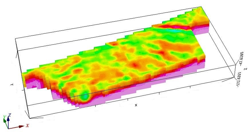
PROGREM integrates geological, geophysical, drilling and topographic data into coherent 3D subsurface models to support interpretation, exploration targeting and confident decision-making.
Key capabilities
- Multi-source geoscientific data integration
- 3D geological and structural modelling
- 3D geophysical modelling and inversion
- Integration of drillholes, geology and topography
- 3D surfaces, sections, volumes and voxel models
- Exploration targeting and decision support
Discuss your 3D modelling project
Turn geological, geophysical and drilling data into an integrated 3D understanding of the subsurface.