Areas of expertise

Seven complementary disciplines brought together in a single team to meet all your geoscience needs across water, mining and civil engineering.

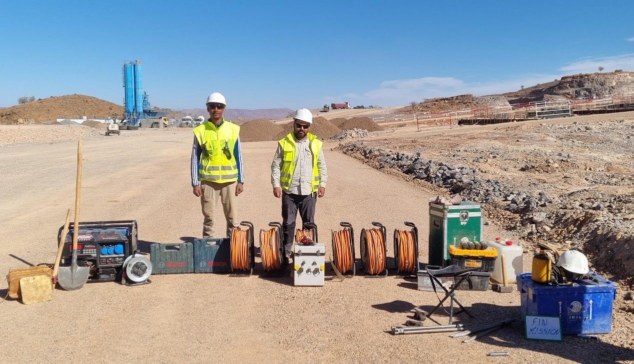
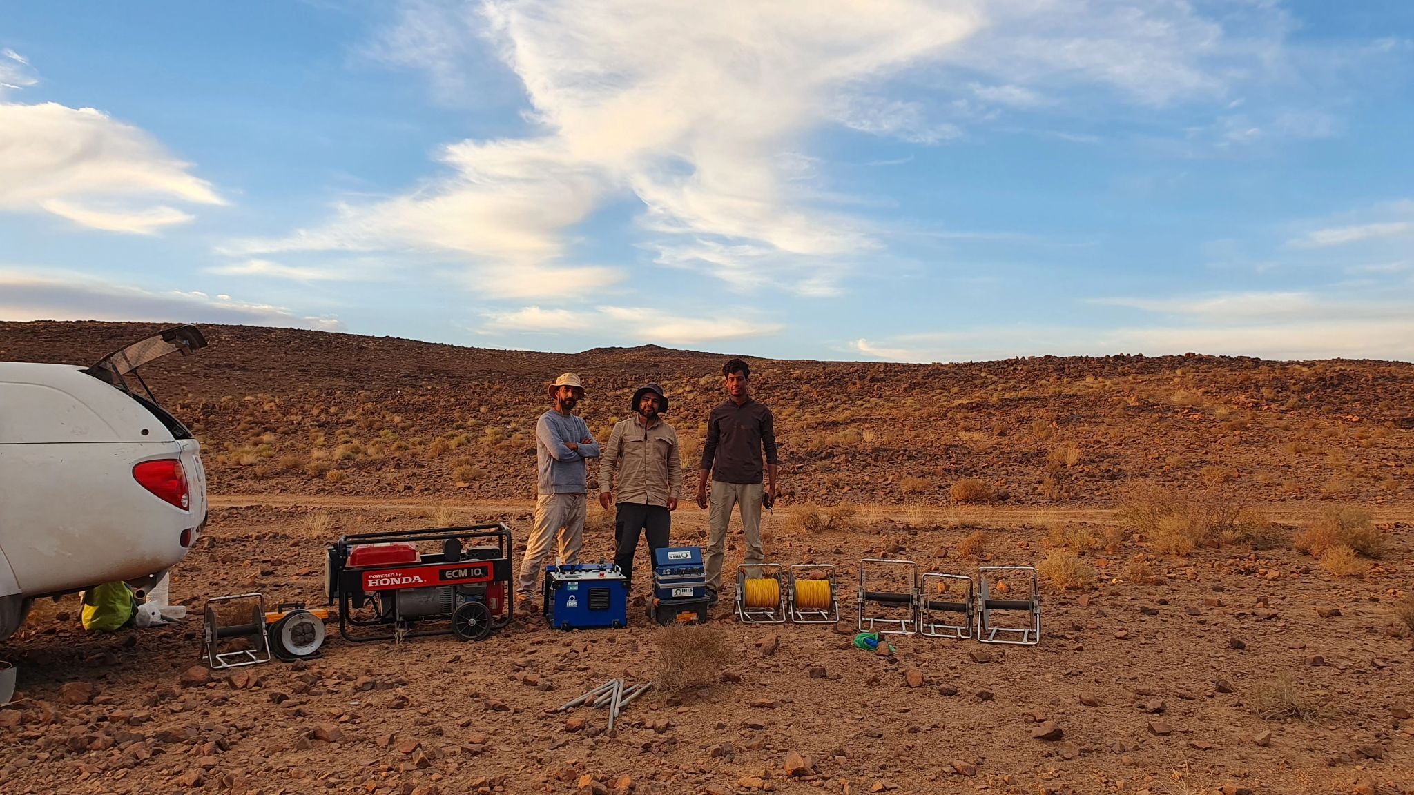
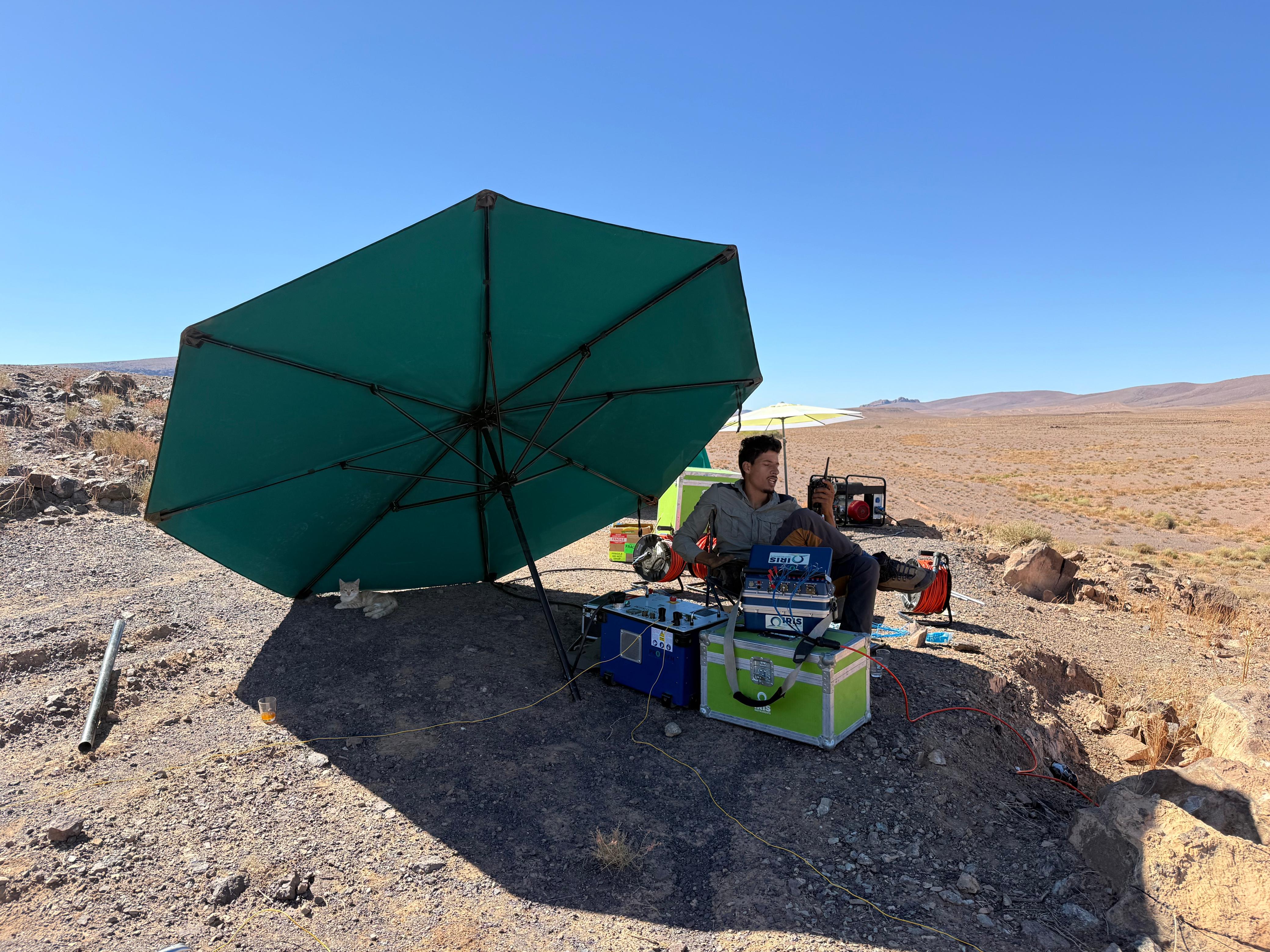
Geophysics

Non-invasive subsurface imaging: our surveys detect mineralisation, geological structures and aquifers, whether ground-based, downhole or airborne by UAV.

  • Magnetic Surveys
  • Resistivity & Induced Polarization (IP)
  • Gravity
  • Gamma-Ray Spectrometry
  • Physical-Property Measurements on Rock Samples
Explore geophysics

Geology

From geological mapping to resource estimation, we support every stage of mineral exploration.

  • Geological & Structural Mapping
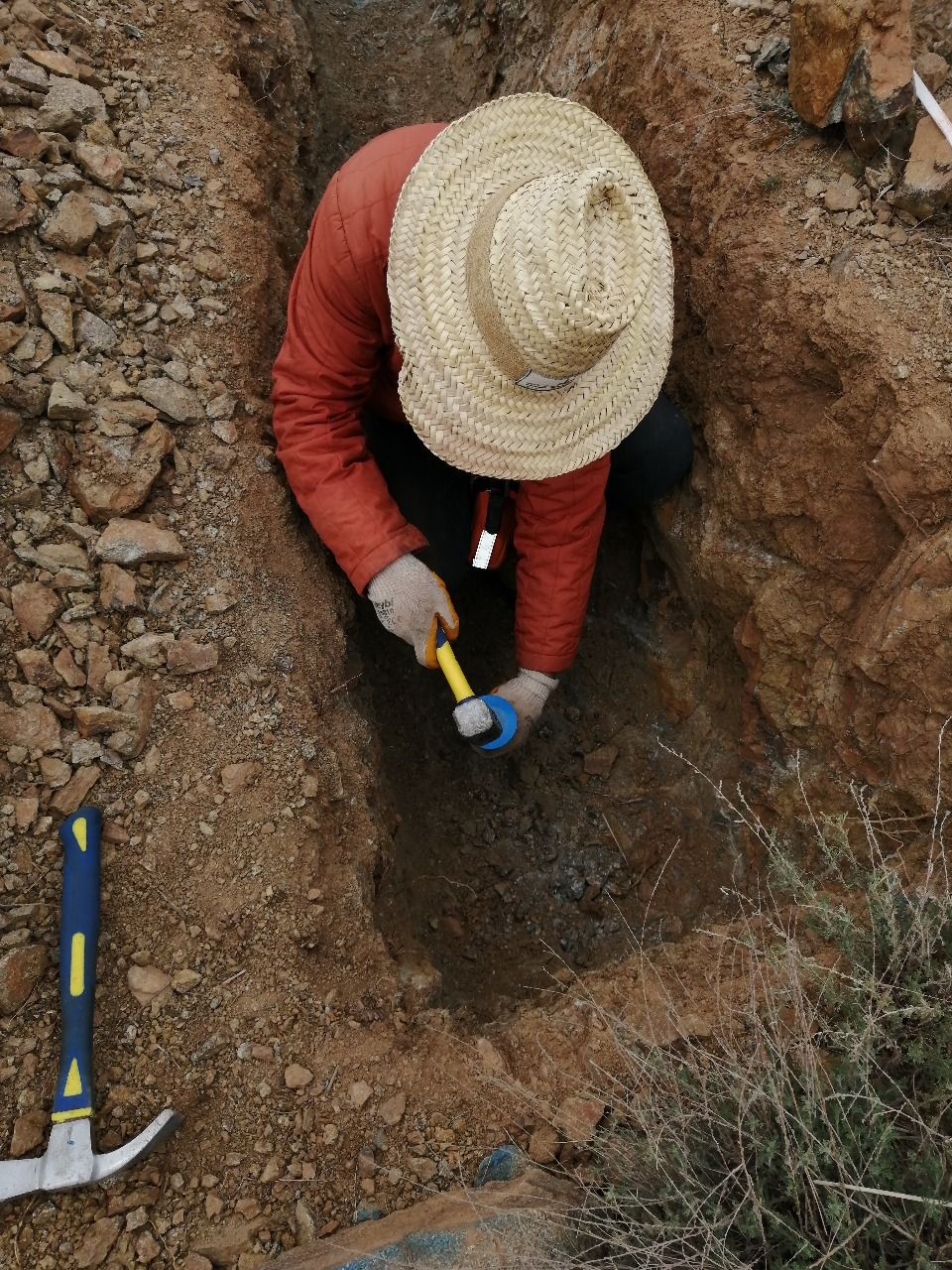
  • Trench Mapping & Sampling
  • Geochemical Sampling
  • Drilling Monitoring & Core Logging
  • Technical Field Observations
  • Integrated Geological Interpretation & Deliverables
Explore geology

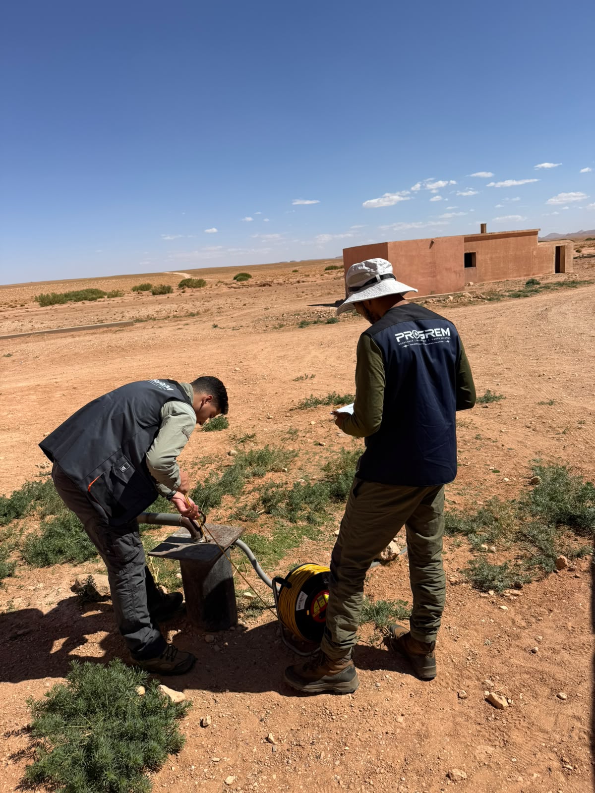
Hydrogeology

Locating, quantifying and characterising groundwater resources to de-risk your boreholes and projects.

  • Piezometric Monitoring
  • Hydrochemistry & In-situ Water Quality
  • Hydrogeophysical Investigations
  • Integrated Interpretation & Deliverables
Explore hydrogeology

Civil engineering

Understanding the ground before building: we identify subsurface hazards for safe and durable structures.

  • Soil Aggressivity Assessment
  • Cavity, Void & Weak-Zone Detection
  • Subsurface Layer & Bedrock Investigation
  • Quarry Investigation & 3D Modelling
  • Integrated Interpretation & Engineering Deliverables
Explore civil engineering

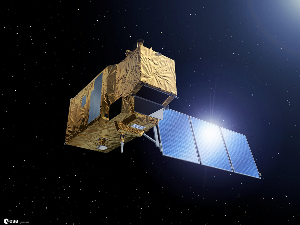
Remote sensing

Satellite image analysis to rapidly target areas of interest over large areas.

  • Multispectral and hyperspectral imagery
  • Structural analysis
  • Hydrothermal alteration
  • Advanced photo-interpretation
Explore remote sensing

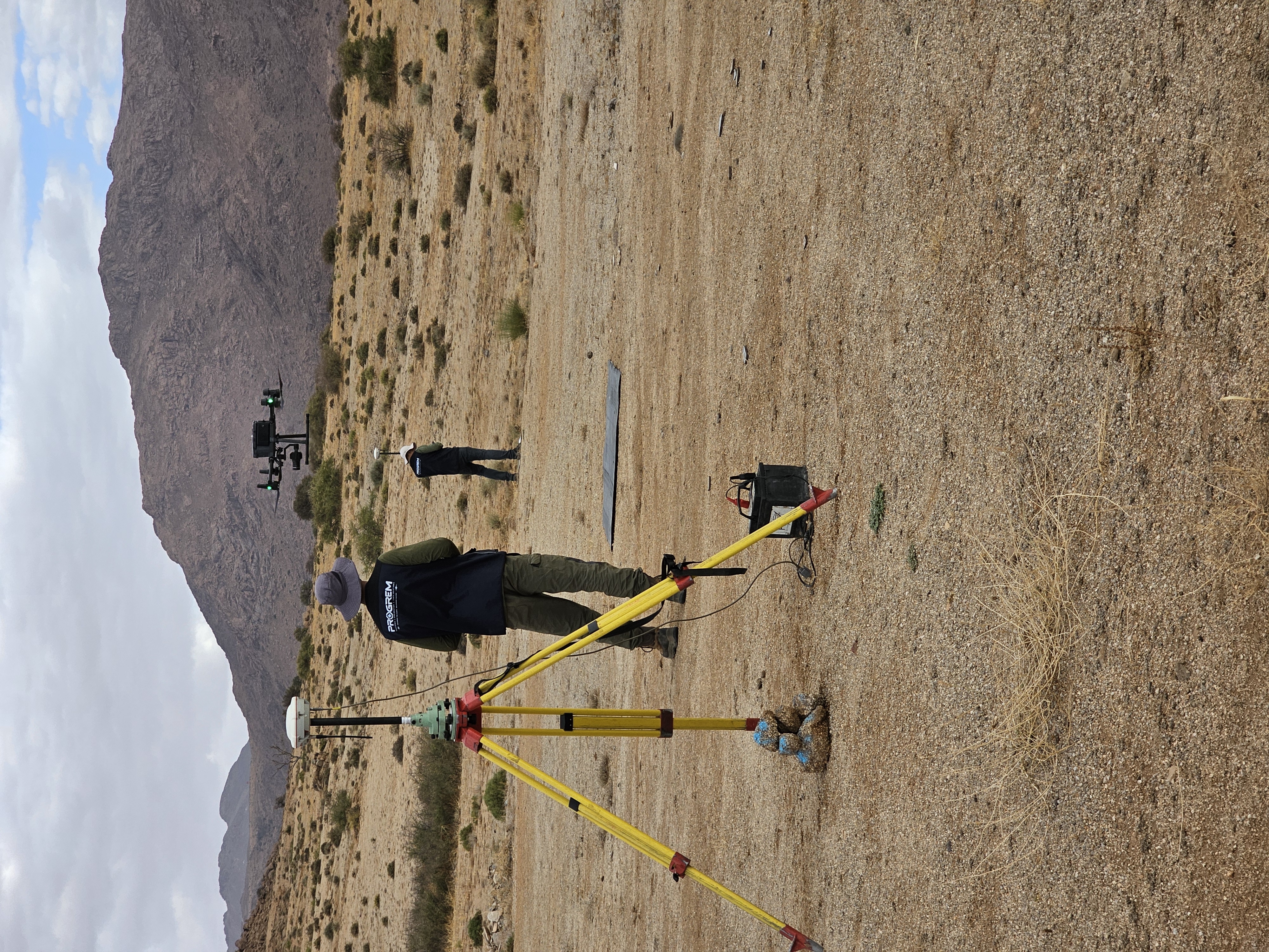
UAV surveys & photogrammetry

Accurate ground and UAV surveys delivering high-resolution maps and 3D models.

  • High-Resolution UAV Photogrammetry
  • Precision Surveying & Ground Control
  • From Field Acquisition to Geospatial Deliverables
  • Photogrammetric & UAV Survey Deliverables
  • Mining, Quarry & Geoscience Applications
Explore surveying

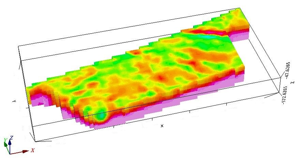
3D geoscientific modelling

Your geophysical, geological and drilling data integrated into a consistent 3D model to visualise the subsurface and support confident decision-making.

  • Multi-source geoscientific data integration
  • 3D geological and structural modelling
  • 3D geophysical modelling and inversion
  • Integration of drillholes, geology and topography
  • 3D surfaces, sections, volumes and voxel models
  • Exploration targeting and decision support
Discuss your 3D project

Does your project span several disciplines?

We assemble the right team and propose an integrated approach.