MAGNETIC SURVEYS
Ground magnetics UAV magnetics
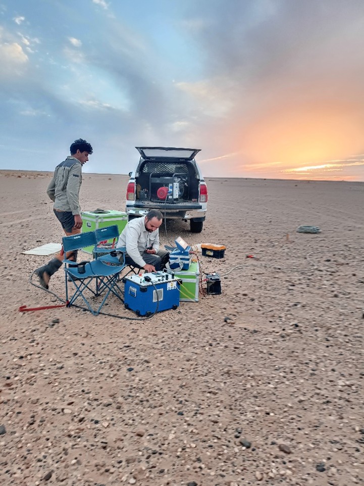
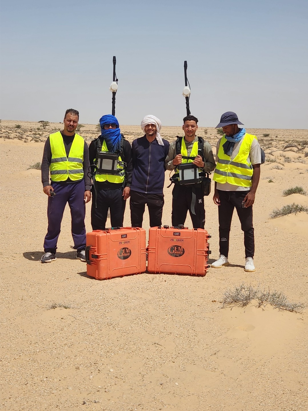
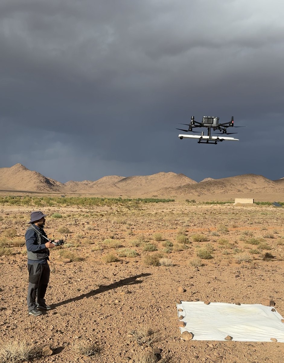
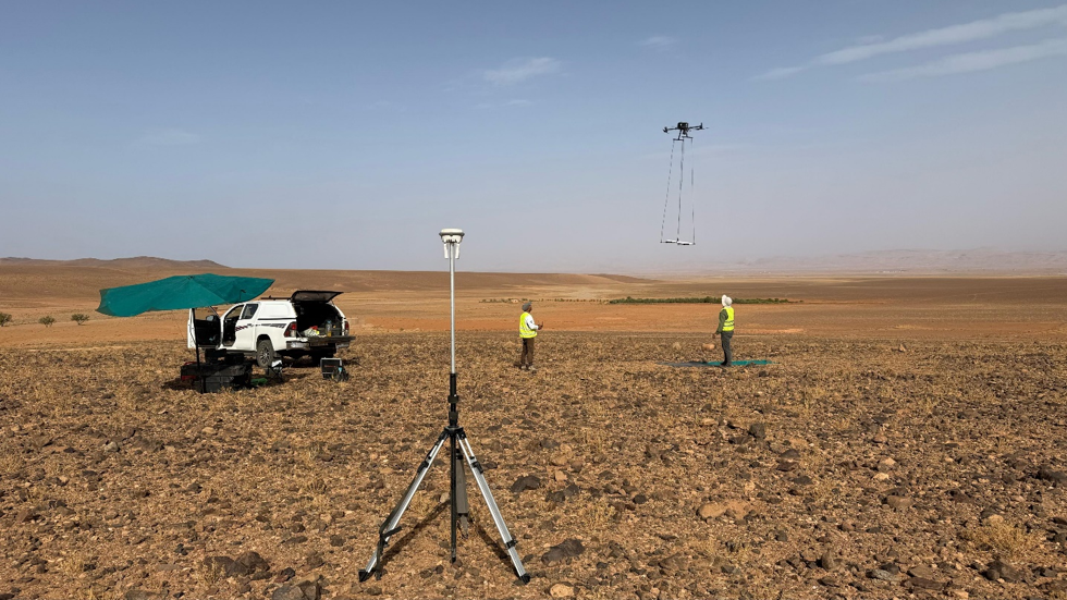
PROGREM provides high-resolution ground and UAV magnetic surveys for mineral exploration and geological mapping. Survey configurations are adapted to project objectives, target characteristics, terrain conditions and the required spatial resolution.
Magnetic data are processed and interpreted to delineate magnetic anomalies, map geological structures and lithological contrasts, and support the identification and characterization of exploration targets.
- Applications
- Geological and structural mapping
- Lithological contact delineation
- Fault and shear-zone mapping
- Magnetic anomaly detection and target delineation
- Mineral exploration targeting
- Regional and detailed magnetic mapping
- Acquisition systems
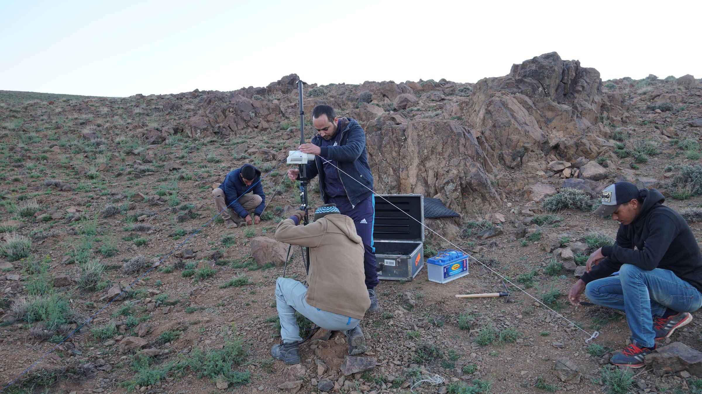
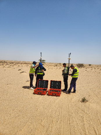
- Ground magnetic surveying
- UAV magnetic surveying
- Base-station magnetic monitoring
- GNSS/RTK positioning
- Equipment
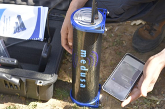
- GEM Systems GSM-19 Overhauser magnetometers
- Geometrics MagArrow magnetometers
- DJI M350 RTK / M400 RTK UAV platforms
- GNSS/RTK positioning systems
- Data processing & deliverables
- Diurnal correction and QA/QC
- Total Magnetic Intensity (TMI)
- Magnetic derivatives and enhancement filters
- Reduction to the Pole (where applicable)
- Magnetic anomaly maps and profiles
- 2D/3D interpretation and target delineation
- Survey configuration
- Ground: detailed investigation and high-resolution target characterization
- UAV: rapid, systematic coverage of large or difficult-access areas