
Hydrogeology

Integrated groundwater assessment combining field hydrogeology, piezometric monitoring, hydrochemistry, pumping tests and hydrogeophysical investigations.

Groundwater investigation

From field measurements to an integrated understanding of groundwater systems

PROGREM provides integrated hydrogeological investigations to characterise groundwater conditions and support water-resource assessment. Our approach combines field observations, groundwater-level measurements, in-situ water-quality parameters, hydrochemical data, pumping tests and targeted geophysical investigations.

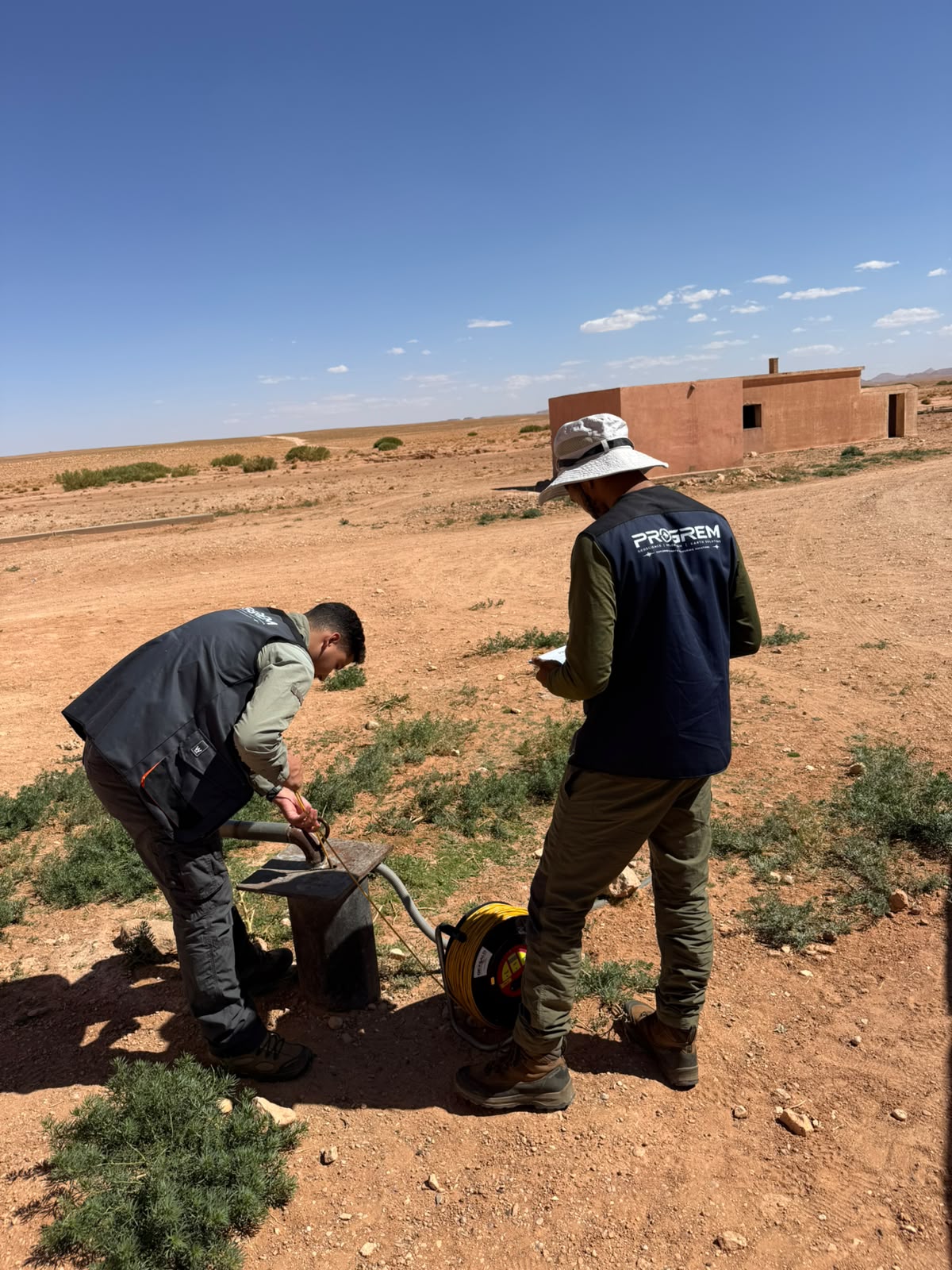
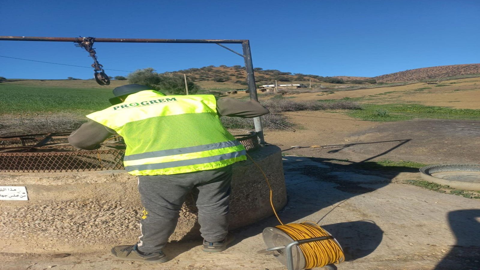
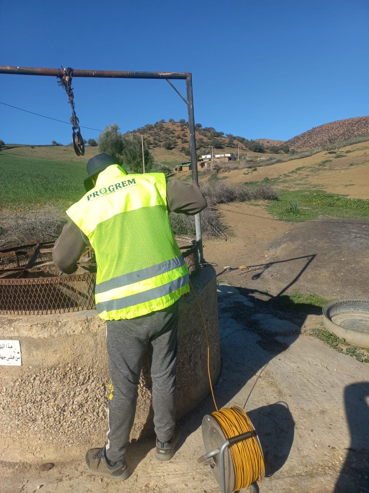
PROGREM technician measuring the groundwater level in a well
Piezometric monitoring in a well — PROGREM field team

Piezometric Monitoring

Groundwater-level measurements in wells and boreholes provide the basis for assessing hydraulic heads, groundwater-flow directions and spatial or temporal variations in the piezometric surface.

Key activities
  • Water-level measurement
  • Static and dynamic levels
  • Well and borehole inventory
  • Piezometric mapping
  • Monitoring campaigns
Interpretation
  • Hydraulic heads and piezometric surface
  • Groundwater-flow directions
  • Spatial and temporal water-level variations
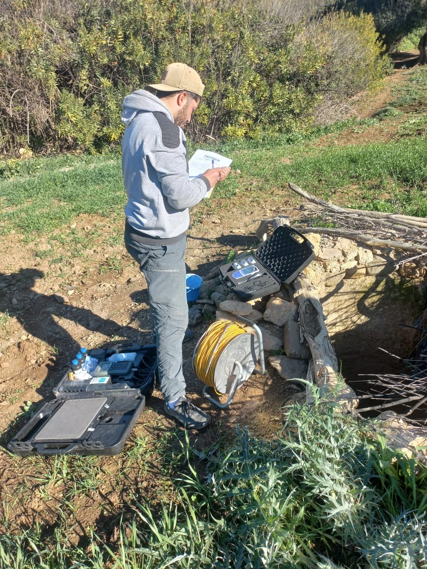
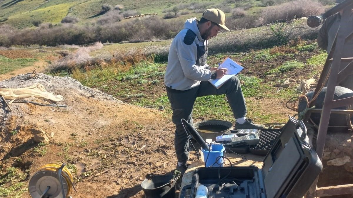
PROGREM hydrogeologist recording in-situ water-quality measurements at a well

Hydrochemistry & In‑situ Water Quality

PROGREM carries out groundwater sampling and in-situ physicochemical measurements to characterise water quality, support hydrochemical interpretation and identify spatial variations between groundwater points.

Field measurements
  • pH
  • Electrical conductivity
  • Temperature
  • Total dissolved solids (TDS)
  • Other parameters according to project requirements
Sampling
  • Groundwater sampling
  • Sample collection for laboratory analyses where required
Objectives
  • Water-quality and hydrochemical characterisation
  • Spatial variations between groundwater points
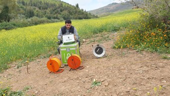
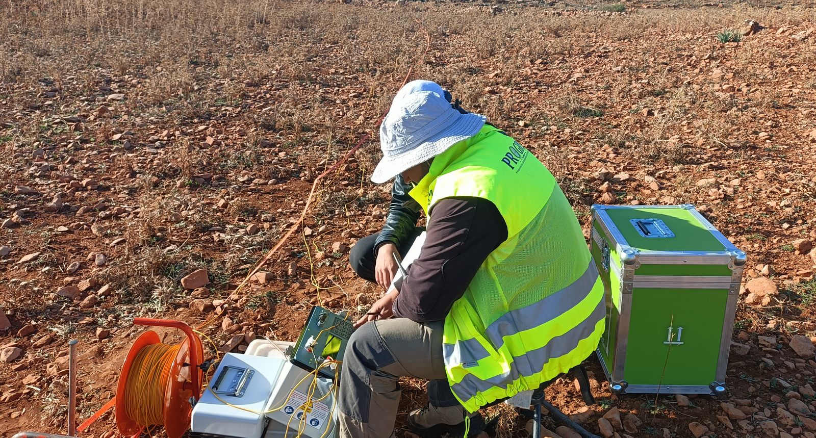
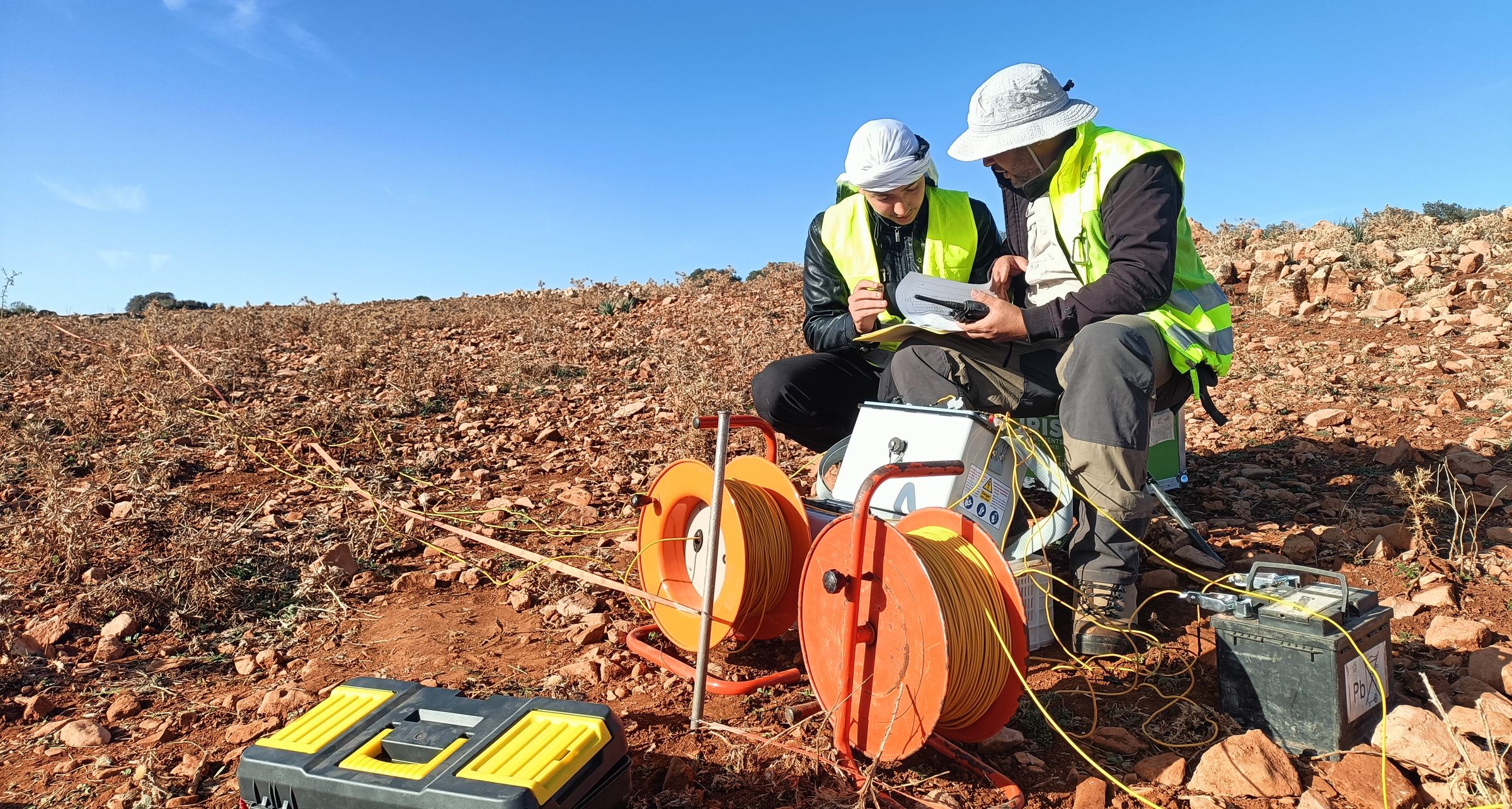
PROGREM operator acquiring a vertical electrical sounding
Vertical Electrical Sounding (VES) — hydrogeophysical field acquisition
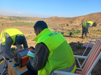
PROGREM team acquiring and checking electrical resistivity data
Electrical resistivity survey — field acquisition and QA/QC

Hydrogeophysical Investigations

Electrical and electromagnetic methods are used to investigate subsurface resistivity contrasts related to lithology, weathering, fracturing and possible water-bearing structures. Survey design is adapted to the hydrogeological context and calibrated against available geological and borehole information.

Typical methods
  • Vertical Electrical Sounding (VES)
  • Electrical resistivity profiling
  • Electrical Resistivity Tomography (ERT)
Typical objectives
  • Depth to resistive / conductive units
  • Lateral variations
  • Weathered and fractured zones
  • Aquifer geometry
  • Selection of targets for further hydrogeological investigation

Integrated Interpretation & Deliverables

Hydrogeological, hydrochemical and geophysical datasets are interpreted together to build a consistent conceptual understanding of groundwater conditions and provide decision-oriented deliverables.

Typical deliverables
  • Well / borehole inventory
  • Piezometric maps
  • Groundwater-flow interpretation
  • Hydrochemical maps and diagrams
  • Pumping-test interpretation
  • Geoelectrical sections and models
  • Integrated hydrogeological maps
  • Technical report and recommendations
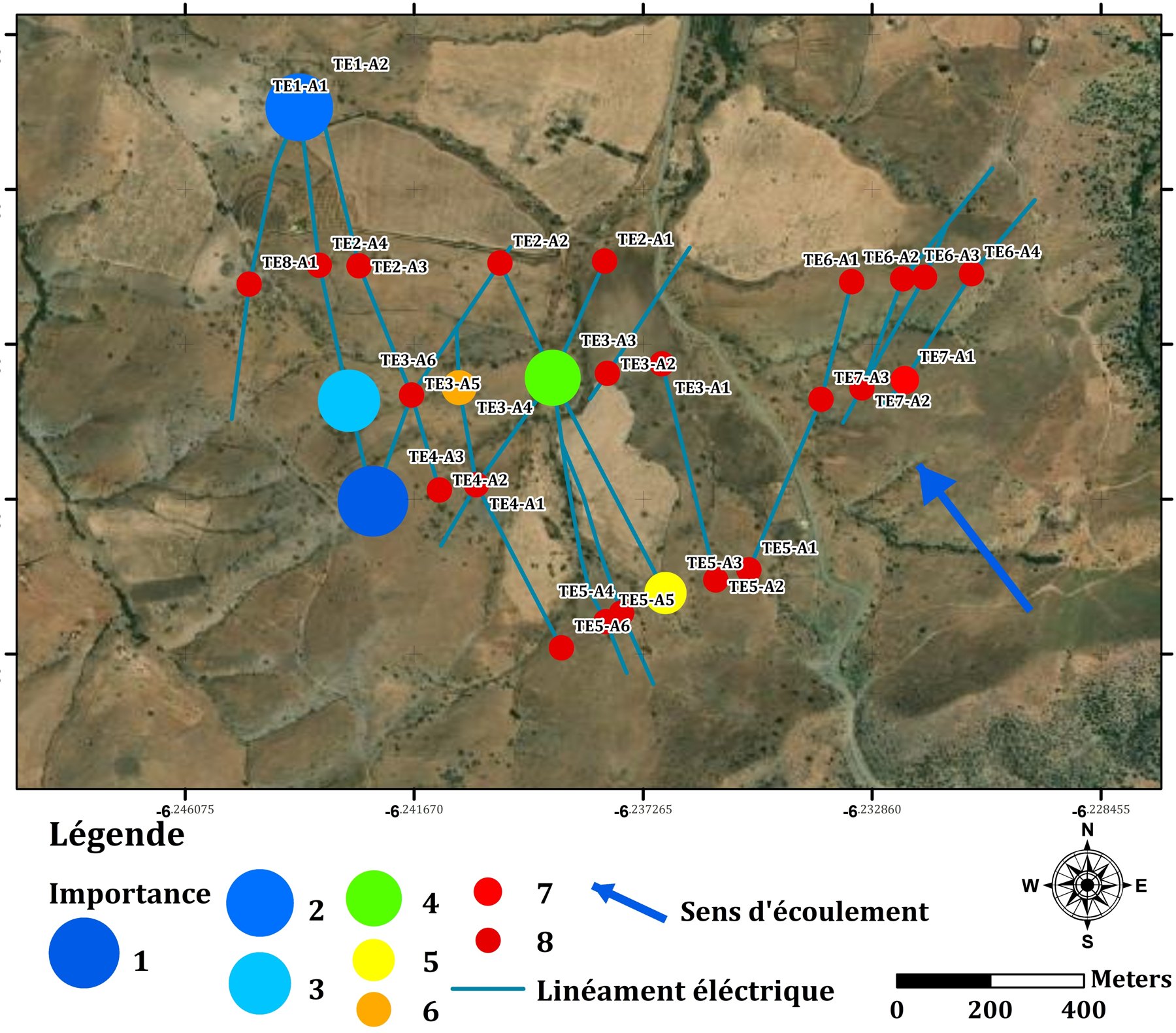
Integrated hydrogeological map showing electrical lineaments, prioritised targets and groundwater-flow direction
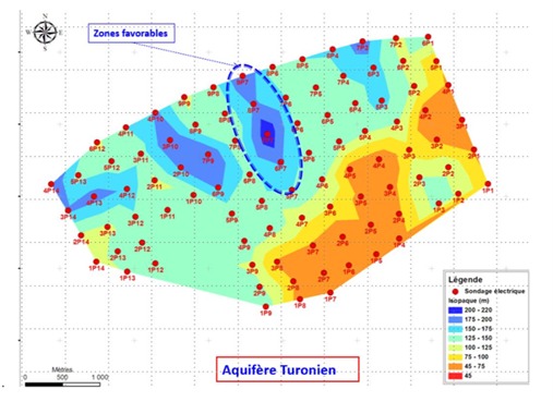
Geoelectrical resistivity map of an aquifer with favourable zones outlined

Hydrogeology in the field

Field campaigns across diverse environments, combining groundwater monitoring, water-quality measurements and hydrogeophysical investigation.

Planning a hydrogeological investigation?

Tell us about your site, available borehole data and project objectives. Our team will define an appropriate investigation programme from field assessment to integrated interpretation and technical reporting.